
Howdy Cromwell; Rocky Hill To Wethersfield
(Continued)
Move around and notice the land, water, what is different. For instance, sandpits.
Only when living elsewhere did the glacial history of New England and, in particular, Connecticut, awaken curiosity about why there were no sandpits, dirt pits in or around, say, southwestern Virginia.
Why were these huge boulders near the beach in Hammonasset? How come clay banks are in Vermont near Lake Champlain, but not everywhere?
Florida has clear cold water springs, but tomatoes grown in the sandy soil taste nothing like those from the reddish rich earth of Connecticut, which also yields rocks and more rocks every spring.
Glaciation, meltwater, Lake Hitchcock. Clay.
"…when someone creates something–whether it's the written word or whether it's a bowl or a piece of wampum–you imbue your spirit into those objects.”
Lynn Malerba, Chief of the Mohegan Tribe.
📹https://t.co/w6htkjh0zZ (2020) pic.twitter.com/BcsV8sskIQ
— Moo Dog Press (@MooDogPress) December 11, 2021
Memories of watching water find its way in the gravel driveway, around obstacles and creating mini fan-shaped deltas, pools and eddies. Taking a stick to connect a puddle to the flow, watching results. Not time wasted, life learning.
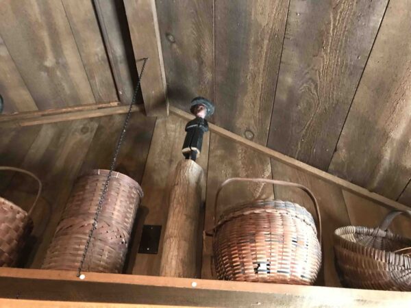
Look up. Inside Tantaquidgeon Museum.
“It stretched from mid-Connecticut to northern Vermont, approximately 175 miles. The impoundment resulted from glacial deposits at Rocky Hill, Connecticut that dammed the ice melt as the last glacier retreated northward. The Rocky Hill dam was breached and the lake drained about 12,000 years ago. The Connecticut River generally follows the course of Lake Hitchcock and, in many places, the river has eroded into and sometimes through the lake-bottom sediments. Diving in these portions of the river is, in many respects, like going back in time and exploring the bottom of Lake Hitchcock.
“Descending through the river’s waters to the lake sediments, the first varves often appear as ghostly white sheets of clay. Closer examination of these clay surfaces reveals a Swiss-cheese-like texture caused by countless burrows of chironomid larvae, an as yet unknown species of the genus Axarus. Chironomids are midges (insects) whose larvae are aquatic, contain hemoglobin, and are an important component of freshwater food webs. Breaking up a piece of clay releases these red worm-like larvae.
“In the deeper part of the river, erosion has cut into the varves and they can be viewed in cross-section. Often the sandy/silty layer of a varve couplet is eroded and undercuts the clay layer. Looking carefully with a dive light into these crevices may reveal a pair of antennae sensing the environment. Looking closer, the diver will find a pair of stalked compound eyes looking back! The Connecticut River crayfish (Orconectes limosus), a solitary bottom dweller, spends its day hiding in crevices or under stones in the river. Its food includes insect larvae (chironomids), smaller crustaceans and dead animal matter.
“Crayfish are the food of choice for the many carnivorous fish in the river, thus this crustacean’s reclusive nature is not surprising.
“Very curious concretions of organic matter and carbonate are embedded in the clay portions of the varves and literally carpet the river bottom downstream of exposed and eroding Lake Hitchcock sediments. These concretions are tabular, approximately 6-8 inches across, and resemble puzzle pieces with circular holes punched in them; no two are identical and almost all are very attractive with sensuous, sinusoidal curves. All Lake Hitchcock divers return with a handful as mementos of their visit.
“Each varve couplet marks a year; a continuous series of varves is the geological equivalent to the annual growth rings of a very old tree. The thickness of the couplet layers is a record of past environments. The varve couplets beneath the Connecticut River have never been studied and thus may offer new information concerning the rate of ice retreat and climate changes as we exited the last ice age.
“In the Northeast the glacier began to retreat about 21,200 years ago. In its wake a series of freshwater glacial lakes were formed. The largest of these was glacial Lake Connecticut, which later became Long Island Sound when sea level rose. Two glacial lakes are traversed by the Hudson River: Lake Hudson in the south and Lake Albany in the north. In New Hampshire the Merrimack River follows the bed of glacial Lake Merrimack. In all of these sites, divers should discover ice age lake sediments similar to those under the Connecticut River.
“Check out the Connecticut Valley Web Site organized by Ed at http://www.bio.umass.edu/biology/conn.river/” (Editor’s note: This link no longer works, but queries on the UMass Amherst site will yield interesting and related material.)
(The language in geology, fascinating; varves, pingos.)
Entering Academy Hall, then examination of exhibits woke the geology component of exploring. Clay in quantity to make pots. The name Rocky Hill, origin.
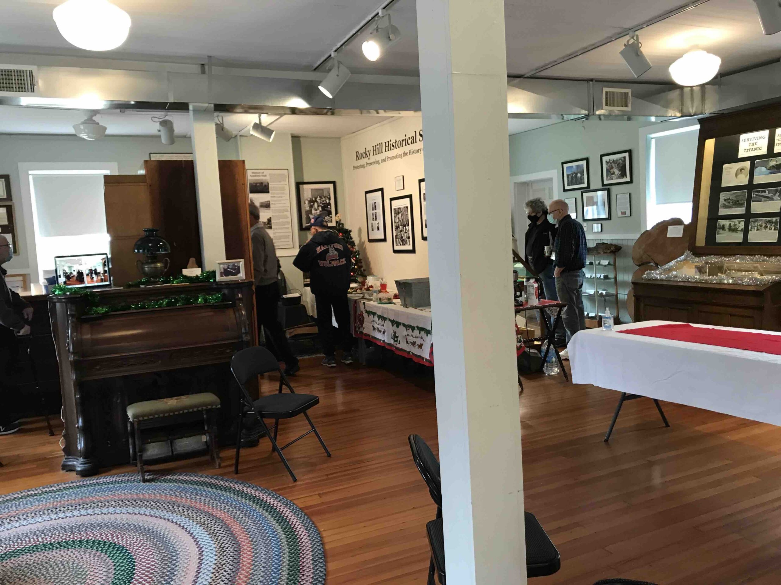
Inside Academy Hall, Rocky Hill, Connecticut, USA.
Some resources:
Reconstructed pottery from the Morgan Site at Academy Hall Museum.
Walking tours created by Town Historian Bob Herron.
Memorials and markers.
“It’s important to recognize the possibility that Pocumtuck people may also have shared this story with European colonists for a reason. Native oral traditions, when told over time in Native communities, reinforce peoples’ knowledge of past events and demonstrate their sense of connection to place. Many stories also serve as lessons that illustrate how anti-social behaviors may be punished by supernatural forces – in this case, an unwanted intruder was killed by Obbamakwa. Native people today see a resonance between the actions of mythical creatures in the past who changed the landscape, and modern buildings and dams that have similarly altered or destroyed indigenous ecosystems. Power plants and dams are the modern-day equivalent of the giant beaver.
“Most residents of Deerfield today know little about geoscience, megafauna, earthshaper traditions, Pocumtuck history or Algonkian language. But many people living within sight of the Pocumtuck Range are aware of the local tradition that the hill is shaped like a beaver.” — The Geology and Cultural History of Beaver Hill Story
Footnotes:
1. The August 26, 1672 deed for lands around Deerfield notes that the hill is called “Wequomps & by ye English Sugarloafe hill.” The Oct. 19, 1672 Hatfield deed names the brook that abuts the hill as “Weckwannuck or Sugar loafe Brook.” (Wright 1905) Some writers have mistakenly interpreted the name “wequomps” as the proper name of the beaver, but in New England Algonkian languages, beavers are usually “tamakwa” or “amiskwa.” The root syllable “wehqu-” or “weckw-” in the words “wequomps” and “weckwannuck” indicates “at the point or extremity of,” and appears in place names referencing some stopping point, i.e.: a road that ends at a river, the end of a trail, or the bluff end of a hill (Huden 1962).
2. Mathevet’s transcription of the Abenaki language followed French conventions, writing the number “8” to indicate the nasalized “ohn” sound, which is also written, in Abenaki, as ô. In Western Abenaki (the closest dialect to Pocumtuck) the ending “agi” or “aki,” combined with “ak” forms the animate plural to indicate people who live in a particular place, as in “Wabanakiak.” The extra “-ô-” (ag8i or akôi) may have been added, in Mathevet’s transcription, to indicate an absentative form, meaning, “used to live in a place.”
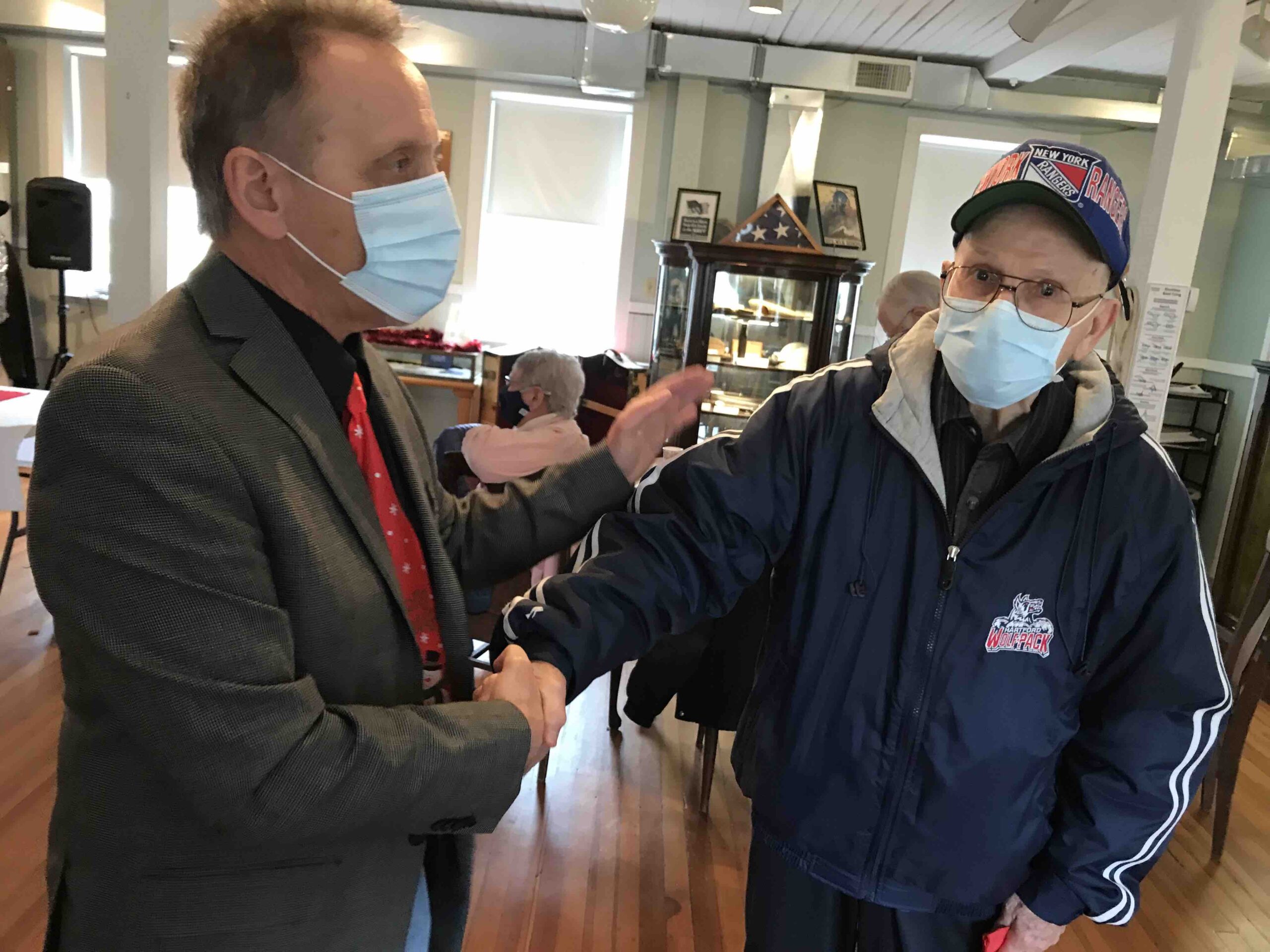
To the keepers of history at Rocky Hill Historical Society, who welcome a traveler and writer/photographer and editor to their open house. Thank you for the words and hospitality to your community. Wonderful.
Will repeat this quote from Lynn Malerba, Chief Mohegan Tribal Nation: “In our Mohegan beliefs, when someone creates something– whether it’s the written word or whether it’s a bowl or a piece of wampum–you imbue your spirit into those objects. We knew that Fidelia really wasn’t keeping her diaries and her documents for the Mohegans of that present day that she was in, but it really was to leave a legacy behind for future generations. Fidelia knew that she needed to preserve that language and those words. And so her work is extremely important to us. Because as we look at restoring our language now, just having her documents and her spirit come home to us– is going to be very meaningful to our entire community.”
Only one left.
(To Ron Nolan and Clare Bearer, thank you for all you taught, words and platform, people, stories, life lessons. So many now gone. Clare, Al, Kate, Anders.)
“It is not the critic who counts; not the man who points out how the strong man stumbles, or where the doer of deeds could have done them better. The credit belongs to the man who is actually in the arena, whose face is marred by dust and sweat and blood; who strives valiantly; who errs, who comes short again and again, because there is no effort without error and shortcoming; but who does actually strive to do the deeds; who knows great enthusiasms, the great devotions; who spends himself in a worthy cause; who at the best knows in the end the triumph of high achievement, and who at the worst, if he fails, at least fails while daring greatly, so that his place shall never be with those cold and timid souls who neither know victory nor defeat.”
― Theodore Roosevelt
(Looked for that framed quote, not to be found. Hope it traveled to Florida.)
On to Wethersfield, respects paid; wait, walk. Then circled back to Cromwell and the Stevens-Frisbie House.
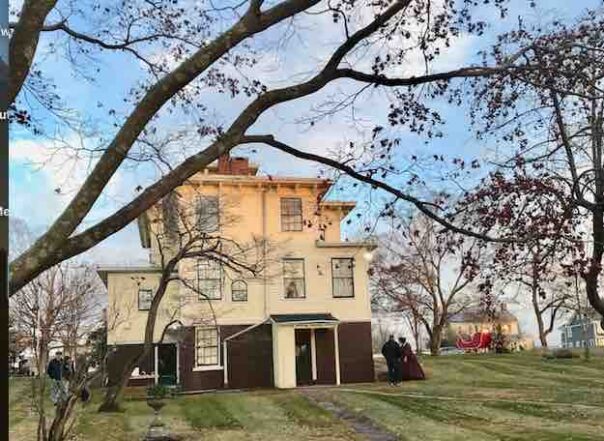
Cromwell.
Looking out of the visitor’s center in Old Wetherfield and thinking of what was discovered during the expansion. People who lived here first. That story.
“Most prized of all was not an object. It was a long stain in the soil, the shadow of what once was a palisade, or a barrier wall, protecting the Chaplin home during the Pequot War (1637-1638).” –(2020 story) via Hartford Courant (What about the people before the fort? The pottery making center at Rocky Hill, just down the road, artifacts and history there. Representation and connections, not evident in Wethersfield at this location.)
And now the missing component appears and slips into place, turns toward me and shows itself.